If you manage field operations, you know that map clarity makes all the difference. That’s why Quatenus now integrates OpenStreetMap (OSM) as a visualisation option. A lightweight, functional and collaborative alternative for those who need to see the world from another angle.
OpenStreetMap is a global digital map built with data shared by millions of users. Like a cartographic Wikipedia, it is constantly updated by people from all over the world and used by companies, governments and social impact projects.
Having OpenStreetMap as an option in Quatenus brings immediate advantages:
While commercial maps (like Google Maps or Here) are closed and controlled by large companies, OSM is open and collaborative. This means it can be updated with local information faster, such as restricted access points, dirt roads, bike lanes or construction zones not yet included in other maps.
If you know your region and want to help improve the maps used by thousands of people, you can collaborate directly at: https://www.openstreetmap.org/. Create an account and suggest updates like street names, access points, landmarks and more.
FAQ – OpenStreetMap in Quatenus
It’s a collaborative mapping platform where users contribute real-time updates such as trails, rural paths or corrections. It works as an open-source alternative to commercial maps, with highly detailed and frequently updated data.
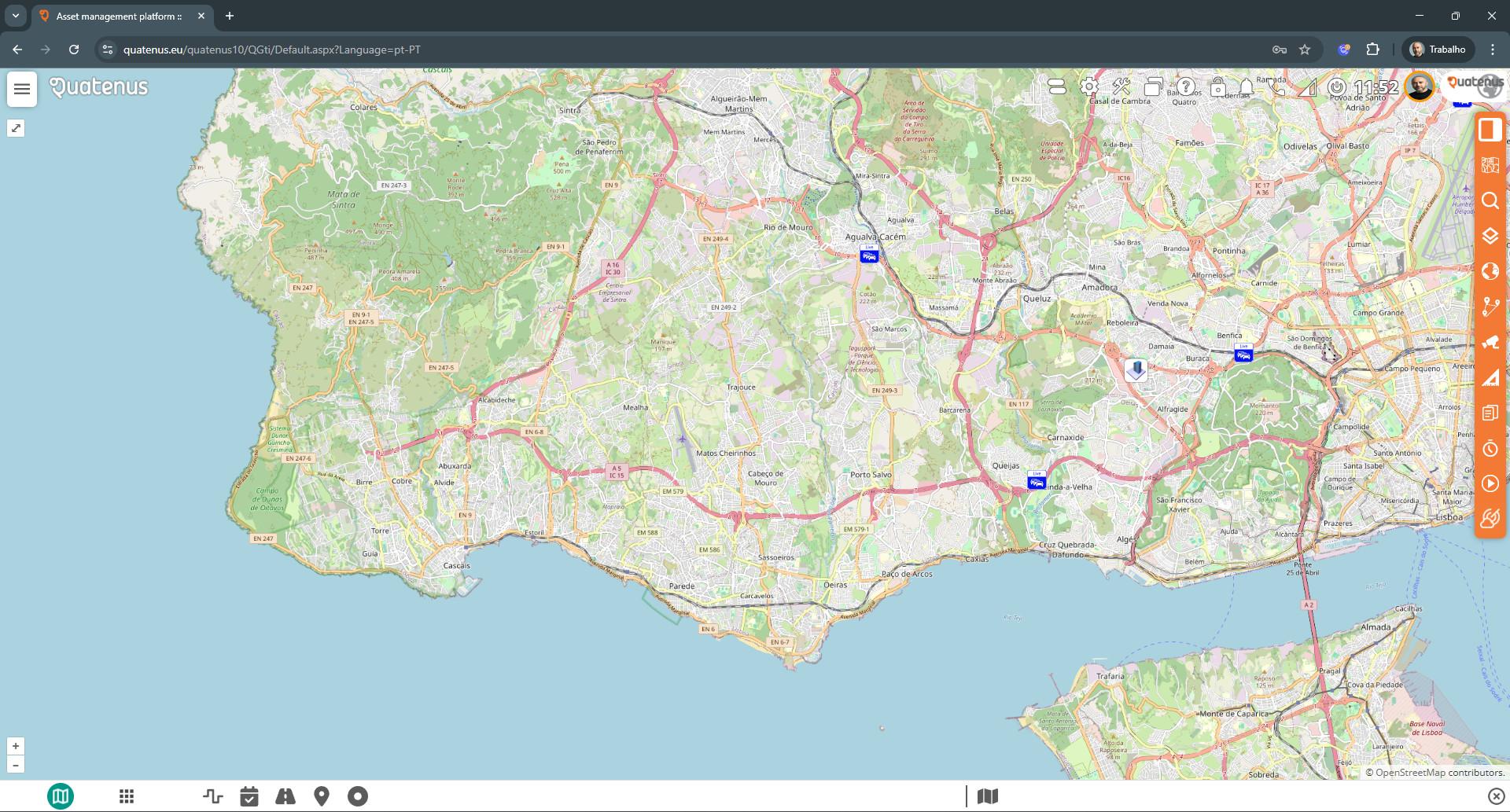
No. OpenStreetMap is an additional map option within MyMaps. You can freely switch between it and other map types based on your operational needs.
Yes. OpenStreetMap is now live for all MyMaps users in the Quatenus platform.
No extra steps needed. Just open MyMaps and select “OpenStreetMap” in the map type selector.
You can register for free at www.openstreetmap.org and add paths, road changes or regional data. Every contribution helps your own business — and others — access more accurate maps.